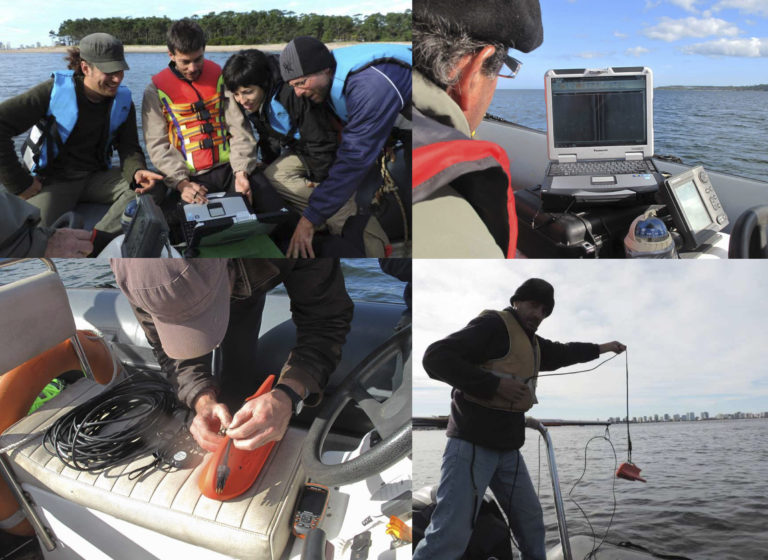
The Bay of Maldonado is one of the main reservoirs of the submerged Cultural Heritage in our coasts counting on documentary evidence of the occurrence of about 63 incidents in its surroundings. However, the increasing use of the bay, particularly by large vessels (cruises) is putting their survival at risk. The present project aims to provide the knowledge and instruments necessary for its preservation and management. The application of remote sensing techniques and technologies (echo sounder, side scan sonar, magnetometer, sediment profiler, underwater remote and infrared view camera) along with direct observation (scientific diving) have proven to be the appropriate tool to achieve this purpose.
In this sense, the databases obtained (sonographies, seismic profiles, magnetic anomalies, two-dimensional and photographic records, conservation status and factors of affection of cultural property, among others) will enable the elaboration of a digital catalog of the Bay in format GIS, which will be applied to the management and periodic monitoring of the archaeological heritage involved. This application will be implemented through the National Naval Prefecture and the National Heritage Commission, the main agencies involved in the protection and management of underwater heritage. Finally, all the information gathered will allow us to broaden our knowledge about the cultural and maritime history of Maldonado’s Bay in particular, and of the River Plate’s basin in general.