
The coastal area of Uruguay is currently sheltering an important cultural heritage which still little studied and widespread. This work focuses on the development of an innovative methodology for the study, monitoring and dissemination of this heritage, with special interest in archaeological sites of boats stranded on the coast.
Those shipwrecks’ archaeological sites are basically formed by some structural parts of the watercraft, partially buried in sandy sediment located at the intertidal area or exposed near to the dunes’ string. The environment where those remains are located is characterized by the extreme variability of the environment parameters, where the wind action, waves, tides and coastal currents provide natural processes of flood, burial and exposure. In a long term, the interaction processes of cultural remains with the environment are responsible for the formation of an archaeological record much complex.
In the South American maritime archaeology research scope, wreck sites in coastal areas remain poorly considered objects of study, despite containing abundant information and possessing a rich interpretative potential. Undoubtedly, the study and the conservation of this cultural heritage present a series of challenges. The difficulty to the public’ access, lack of information, the threat of “treasure hunts”, the unbridled development and the negative effects of climate change on coastal areas have led to the irreparable exhaustion of cultural resources around the world. In order to mitigate these problems on the Uruguayan coast, the methodology of this project foresees three specific, at the same time involved, actions towards the long-term management of the coastal heritage:
1) Digital reconstruction of the landscape through three-dimensional photogrammetric models using drones.
2) Building an interactive website for diffusion of fieldwork’s results and public interaction.
3) Establishment of a Community Network of Coastal Heritage Protection.
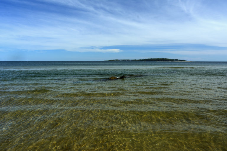
Access the 3D model of the Portezuelo beach, where you will see one of the ships that we are working on in this project half exposed 🙂